YAKUSUGILAND and Mt.TACHU
Yakusugiland is the most accessible of all the trails on the mountain. There are a variety of paths to follow and they are divided according to their estimated duration. As the name suggests there are many yakusugi trees to see including Buddha sugi. All the paths are mapped and explained in my book including extra information on each tree but you do get the map below when you pay the entrance fee (¥300).
Yakusugiland Leaflet (English)
The 30 and 50 minute courses are wooden and stone walkways and are popular with less able tourists who want to get a taste of the forest.
The 80 and 150 minute courses lead you over the bridge above and then the paths return to the forest floor and occasional wooden slats.
The 150 minute course meanders through the forest mostly climbing up and at the first rest hut there is a path signed to Tachu Dake.
The Tachu Dake trail is not as easy as it appears on the map of Yakusugiland.
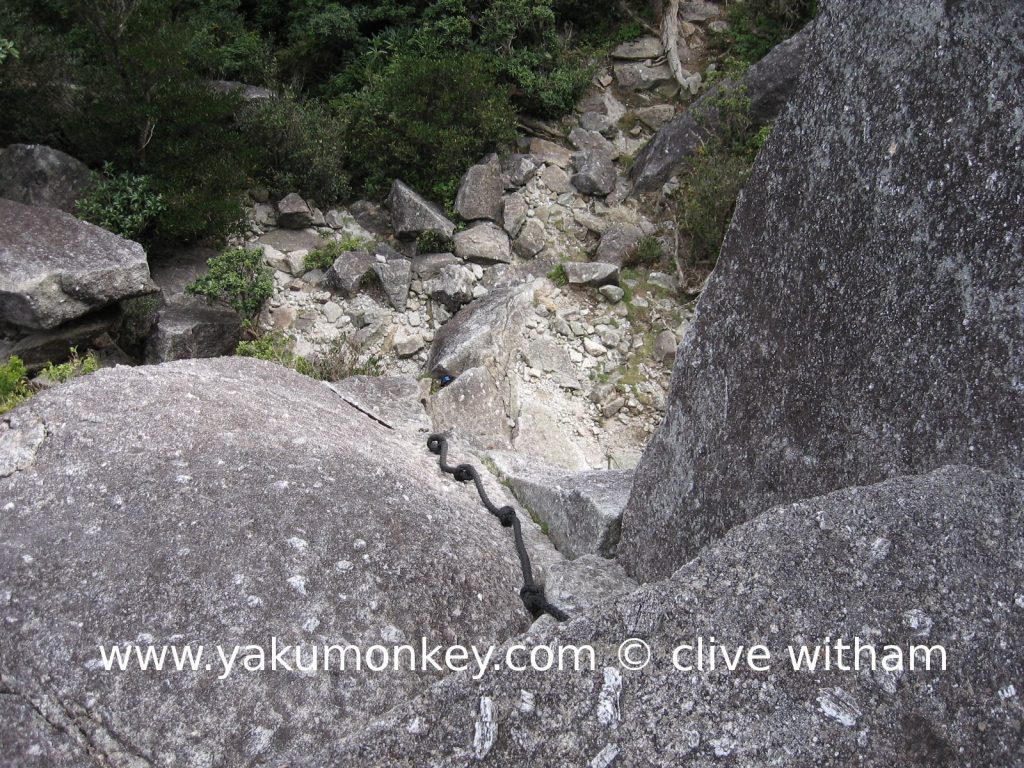
It is pretty much a hard slog upwards on a clearly marked trail and it really is tough-going towards the top. There are ladders and ropes to climb up and down so watch out for very windy days.
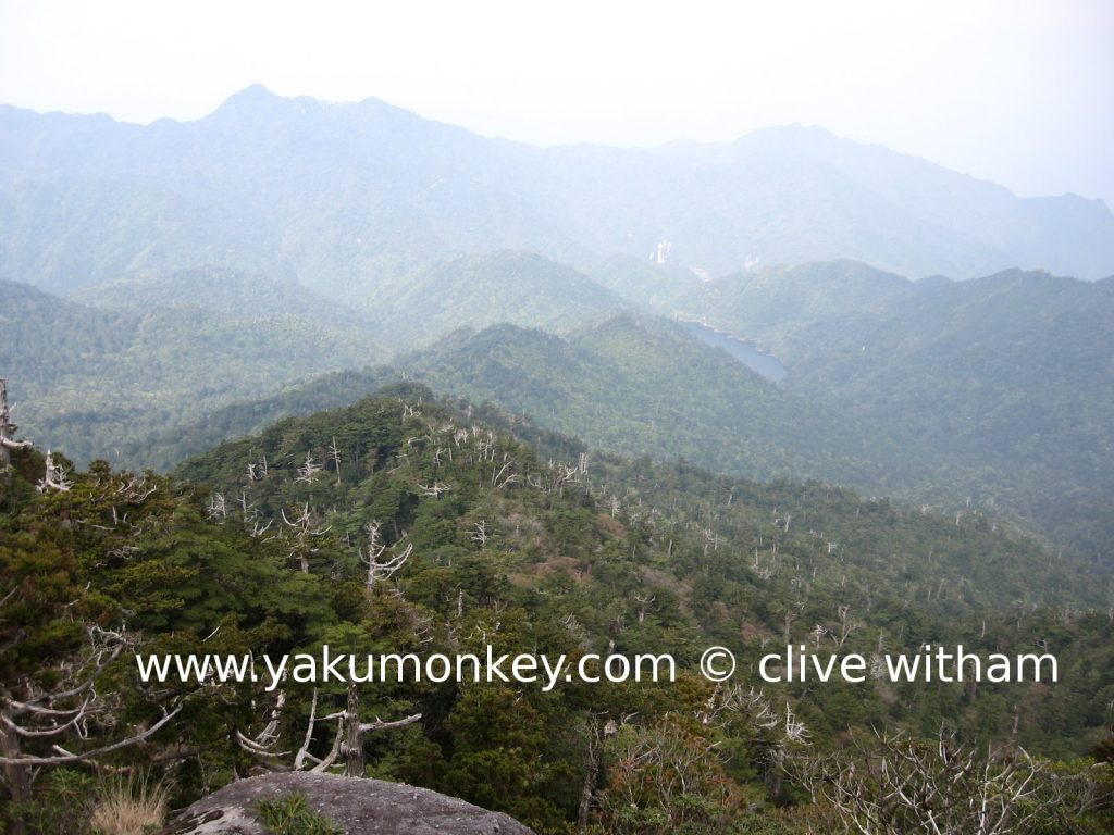
When you reach the summit, you are rewarded with a spectacular view on a clear day. There is a large flat rock to sit on and look out eastwards to Anbo and the sea in the distance.
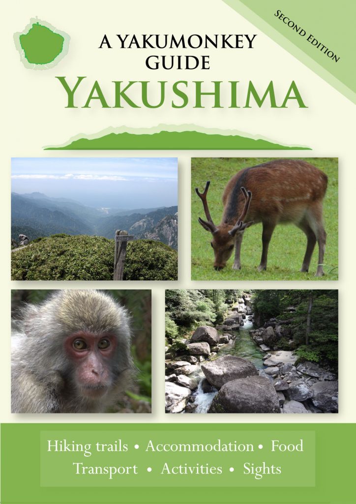
For more information about Yakusugiland and the Tachu dake trail – check out the one and only Yakumonkey Guide to Yakushima


